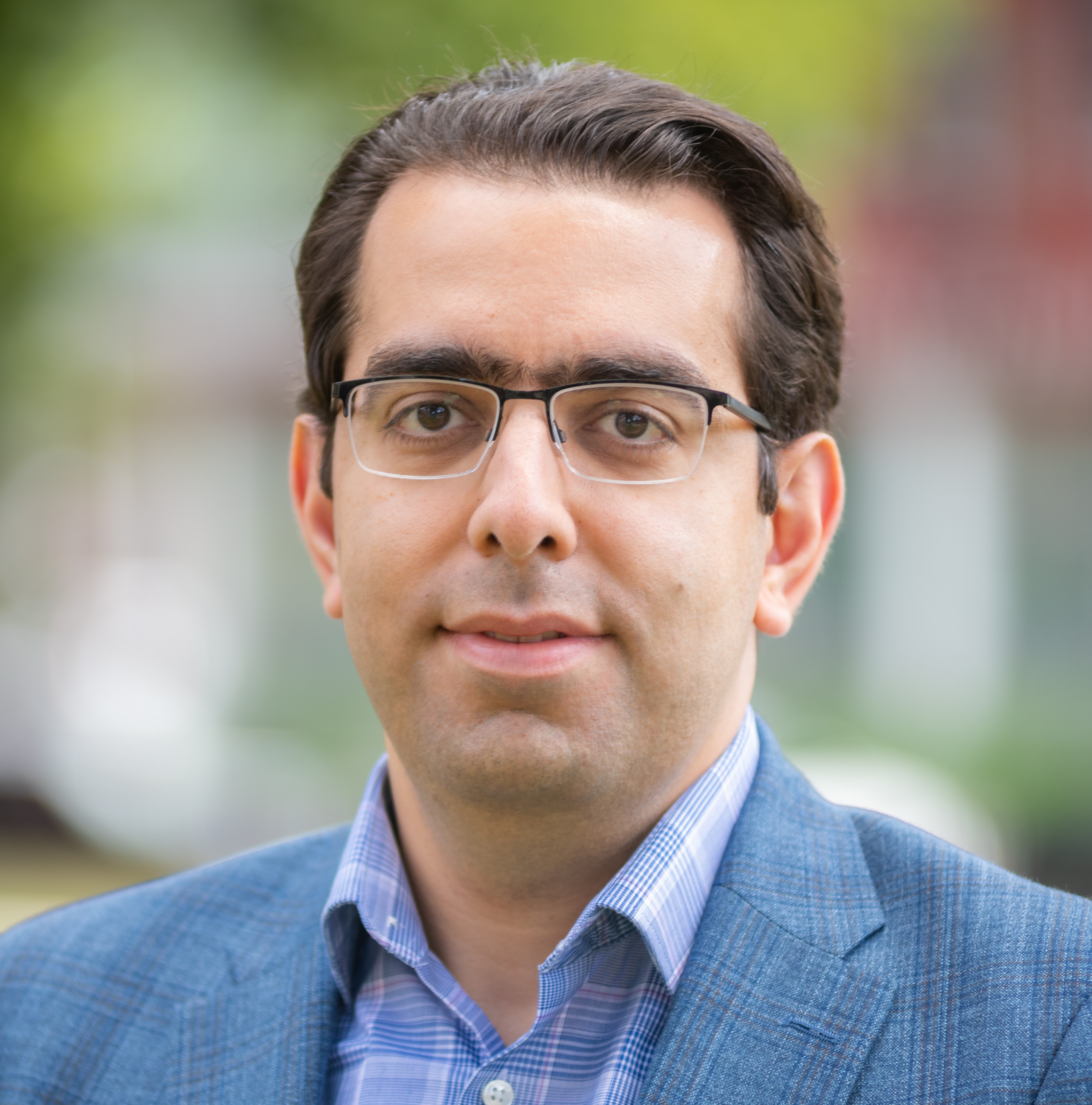
Hamed Alemohammad
I am an Associate Professor in the Graduate School of Geography at Clark University and Director of Clark Center for Geospatial Analytics. I am an interdisciplinary scientist with expertise in remote sensing, earth science, and AI. My research interest lies at the intersection of remote sensing and data analytics to use observations to better understand the changing Earth system.
Recently, we have been focused on developing and benchmarking Foundation Models for Earth Observations in my group. You can check the latest updates of this work here.
My main areas of research are:
- Developing and Adapting Machine Learning Techniques for Earth Observation Data
- Characterizing Uncertainties in Geospatial ML Model Predictions
- Applications of SAR for Soil Moisture and Vegetation Properties Retrieval
Biography
Hamed Alemohammad is an Associate Professor in the Graduate School of Geography and Director of the Center for Geospatial Analytics at Clark University. He is an interdisciplinary scientist with expertise in remote sensing, earth science, and AI. His research interest lies at the intersection of geospatial analytics/AI and geography to use observations to better understand the changing Earth system. Hamed has been the PI for several projects focused on developing novel AI models for multispectral, microwave and synthetic aperture radar (SAR) satellite observations. In recent years, his research has been focused on development and application of geospatial foundation models. Prior to Clark University, Hamed was the Chief Data Scientist and Executive Director at Radiant Earth Foundation where he established and led the development of Radiant MLHub - the open-access repository for geospatial training data and AI models. He received his Ph.D. in Civil and Environmental Engineering from MIT.
Previous Experience
Before joining Clark University in Jan. 2023, I was the Chief Data Scientist and Executive Director at Radiant Earth Foundation, an organization with the vision to empower organizations and individuals globally with open ML and EO data, standards and tools to address the world’s most critical international development challenges. I established and led the development of Radiant MLHub - the open-access repository for geospatial training data and models at Radiant Earth. In this capacity, I also led efforts to mobilize the geospatial community to develop standards and best practices for an interoperable geospatial data ecosystem (such as SpatioTemporal Asset Catalog (STAC)).
Before joining Radiant Earth Foundation in 2017, I spent one year as a Postdoctoral Research Scientist at Columbia University’s Earth and Environmental Engineering Department working with Pierre Gentine. My research was focused on improving our understanding of the heterogeneous processes linking the water, carbon and energy cycles. In particular, I developed new retrieval algorithms from remote sensing observations for different variables of the Water and Carbon cycles and using the remote sensing estimates to characterize the dynamic feedback between terrestrial ecosystem and atmosphere.
Prior to Columbia University, I was a Postdoctoral Research Associate in the Department of Civil and Environmental Engineering at MIT working with Dara Entekhabi in Parsons Laboratory for Environmental Science and Engineering. At MIT, I developed a new polarimetric retrieval algorithm for NASA JPL’s Airborne Microwave Observatory of Subcanopy and Subsurface (AirMOSS) mission to estimate soil and vegetation parameters from P-band Synthetic Aperture Radar (SAR) observations.
I received my Ph.D. in Civil and Environmental Engineering from MIT in 2014 (supervisors: Prof. Dara Entekhabi, Prof. Dennis McLaughlin). My PhD dissertation was focused on quantification of uncertainty in remotely-sensed precipitation estimates. I developed an ensemble-based framework to characterize the uncertainty in precipitation estimates using historical errors. This framework generates realistic spatial (2D) replicates of rainfall that can be used to propagate the uncertainty into ecohydrological and meteorological models, especially those used in Data Assimilation.
